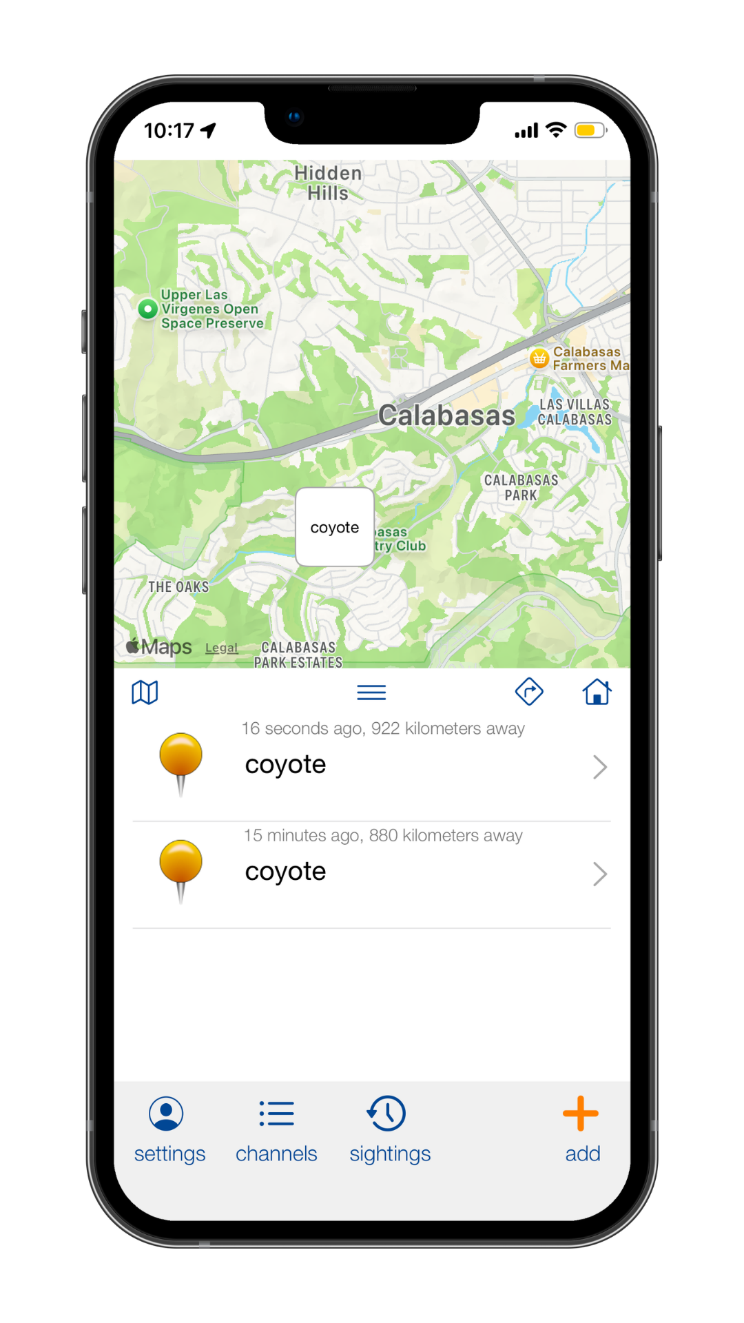
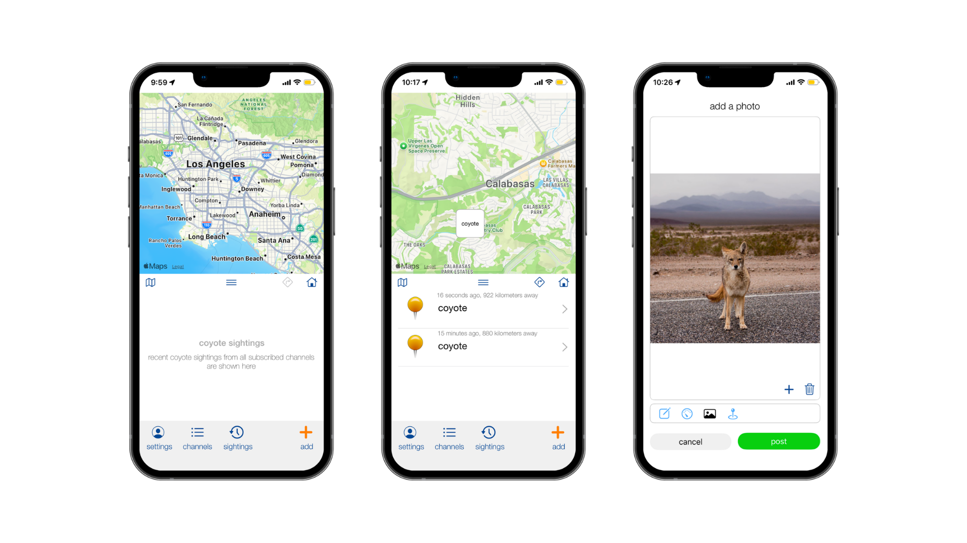
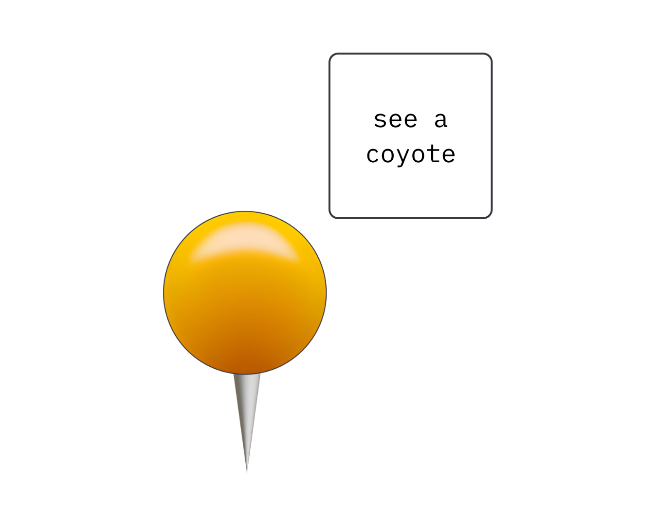
coyote maps


keeping kids, pets, & communities safe with coyote safety network.


our brand story
Our story started with a UFO sightings app, seriously.
Users will be able to share photos, videos, information, etc. on a live map. A way to report sightings anonymously building a public database tracking paranormal activity for truth seeking enthusiasts.
While networking in California, we where educated on the urban coyotes. Residents noticing more sightings, missing pets, and attacks. There are group chats, facebook posts/groups, and next door updates all attempting to do the same thing. Report their encounter with a coyote, let neighbors know of the danger lurking, while staying safe and not over sharing their location on the internet. This said to us the community cared, but there was no system to connect what everyone was seeing.